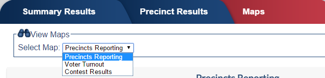
On the Maps tab, you can display a map of the county’s Precincts in different as described below. The view is selected in the box above the map:
The presence of the Maps tab in the election results is controlled by the Use Maps for this Election option on the ENR Election Configuration Options. If you also want to display the map at the bottom of the scrolling display, select the option Show Map on Scrolling Display.
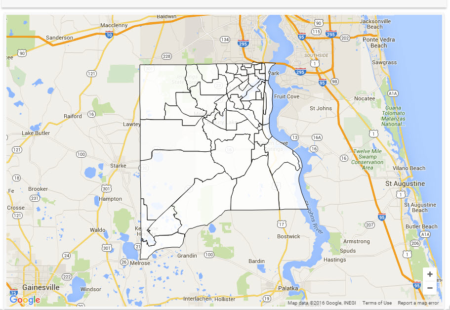
You can control what style map is used to display these results using the Maps Display Style option on the ENR Election Configuration Options. See the Map Style Display Options section below for an example of each of the available styles.
For more information on setting these display options, see Set Display Options for Maps.
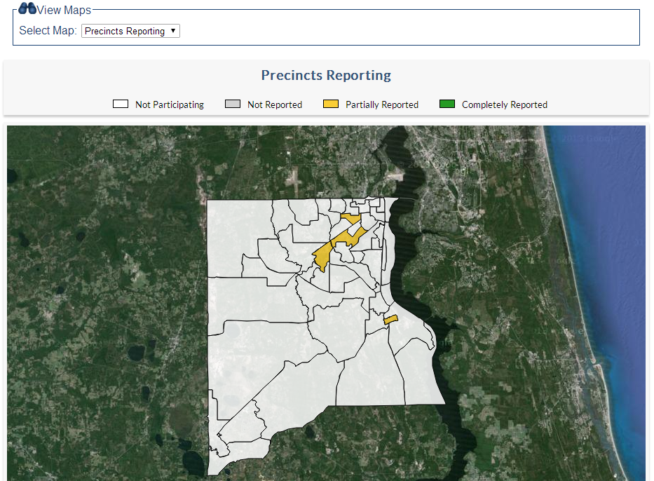
View—Precincts Reporting
This view indicates the reporting status of each Precinct—Fully Reported, Partially Reported, Not Yet Reporting, or Not Participating. When you click a county on the map, the Precinct number and name is displayed.
When testing ENR with a zero file, the reporting status of all Precincts will be Not Reported. When live results are first uploaded, all Precincts' status will change to Partially Reported. (Results at this time will include Vote By Mail and early voting votes.) If a Precinct is not included in the tabulation file, their status here will be Not Participating. When a Precinct's results are complete, go to the Edit Precincts Information Settings and select the Completely Reported check box. This will update the map color to show that the Precinct's results are final.
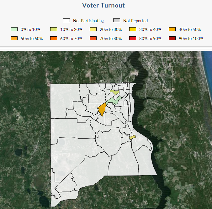
View—Voter Turnout
This view shows the percentage of voter turnout by Precinct. Note that if you modify the number of registered voters or the number of ballots cast on the ENR Election Configuration Options, it might affect the percentages displayed here.
View—Contest Results
This view shows and a display of results for a specific race. Use the drop-down list above the map to select the race. Note that if you hide a race or a candidate on the Race Information Settings, you will not see that race or candidate on the map display.
Map Style Display Options
Satellite
Road Map
Blank
![]()


